Tropical Storm Debby moving toward Florida with hurricane warnings

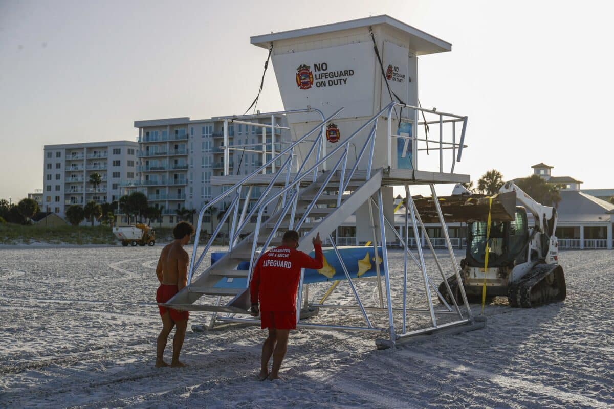
From left, Matthew Blowers and Patrick Brafford prepare to secure a lifeguard tower in preparation of potential storm at Clearwater Beach on Saturday, Aug. 3, 2024, in Clearwater, Fla. (Jefferee Woo/Tampa Bay Times via AP)
MIAMI — A tropical depression strengthened into Tropical Storm Debby north of Cuba on Saturday and was predicted to become a hurricane as it moves through the Gulf of Mexico on a collision course with the Florida coast.
The National Hurricane Center said in an update posted at 5 a.m. Sunday that Debby was located about 195 miles (315 kilometers) south-southwest of Tampa, Florida, and about 255 miles (410 kilometers) south-southwest of Cedar Key, Florida. The storm was moving north-northwest at 13 mph (20 kph) with maximum sustained winds of 50 mph (85 kph).
The storm was strengthening over the southeastern Gulf and expected to be a hurricane before making landfall in the Big Bend region of Florida, the hurricane center said.
Wind and thunderstorms have spread over a broad area including southern Florida, the Florida Keys and the Bahamas. A hurricane warning and tropical storm warnings were in effect for sections of Florida’s coast and a tropical storm watch was added for coastal Georgia in the latest advisory.
Debby is likely to bring drenching rain and coastal flooding to much of Florida’s Gulf Coast by Sunday night and predictions show the system could come ashore as a hurricane Monday and cross over northern Florida into the Atlantic Ocean.
Forecasters warn it also could drop heavy rains over north Florida and the Atlantic coasts of Georgia, South Carolina and North Carolina early next week.
Debby is the fourth named storm of the 2024 Atlantic hurricane season after Tropical Storm Alberto, Hurricane Beryl and Tropical Storm Chris, all of which formed in June.
The National Hurricane Center in Miami predicted the system will strengthen as it curves off the southwest Florida coast, where the water has been extremely warm. Intensification was expected to proceed more quickly later on Sunday.
A hurricane warning was issued for parts of the Big Bend and the Florida Panhandle, while tropical storm warnings were posted for Florida’s West Coast, the southern Florida Keys and Dry Tortugas. A tropical storm watch extended farther west into the Panhandle. A warning means storm conditions are expected within 36 hours, while a watch means they are possible within 48 hours.
Tropical storms and hurricanes can trigger river flooding and overwhelm drainage systems and canals. Forecasters warned of 6 to 12 inches (150mm to 300 mm) of rain and up to 18 inches (450 mm) in isolated areas, which could create “locally considerable” flash and urban flooding. Forecasters also warned of moderate flooding for some rivers along Florida’s West Coast.