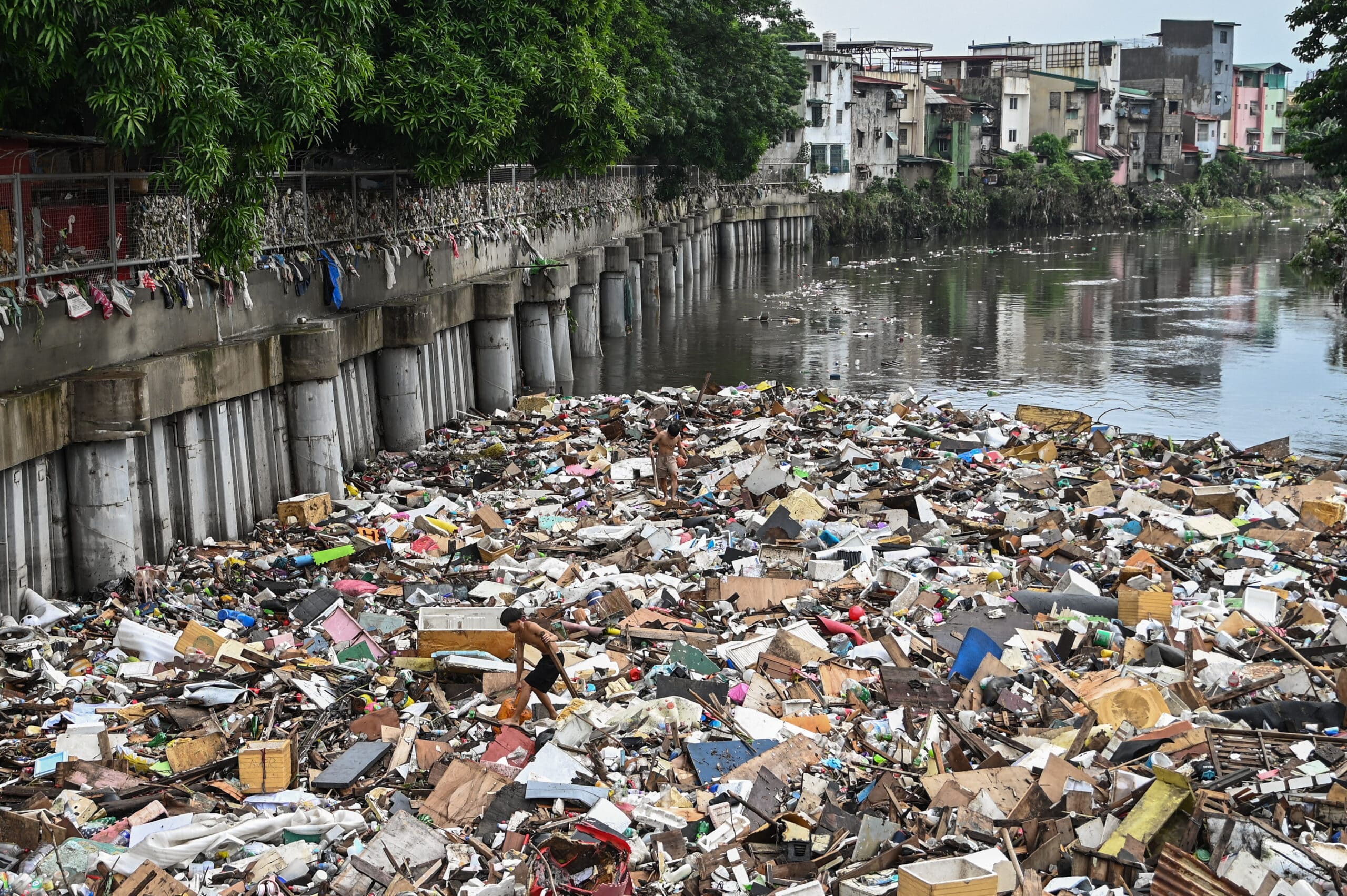
Residents pick up debris in a river in the aftermath of Typhoon Carina (international name: Gaemi) in Manila on July 25, 2024. (Photo by Jam Sta Rosa / Agence France-Presse)
MANILA, Philippines — Batanes remained under Tropical Cyclone Wind Signal No. 1 even as Typhoon Carina, whose international name is Gaemi, was approaching China on Thursday afternoon.
The Philippine Atmospheric, Geophysical and Astronomical Services Administration (Pagasa) said in its 5 p.m. bulletin that Carina slightly weakened and was last seen 550 kilometers north-northwest of Itbayat, Batanes, packing maximum sustained winds of 120 kilometers per hour (kph) near the center with gustiness of up to 180 kph.
Carina left the Philippine area of responsibility (PAR) by 6:20 a.m. on Thursday, July 25.
“Outside the PAR region, Carina will continue to move west-northwestward over Southeastern China,” Pagasa said. “It will continue to weaken as it further interacts with the landmass.”
READ: Metro Manila now under state of calamity due to Typhoon Carina
The state weather agency also said that Carina will continue to enhance the southwest monsoon, locally termed habagat, warning of persistent rains in parts of Luzon.

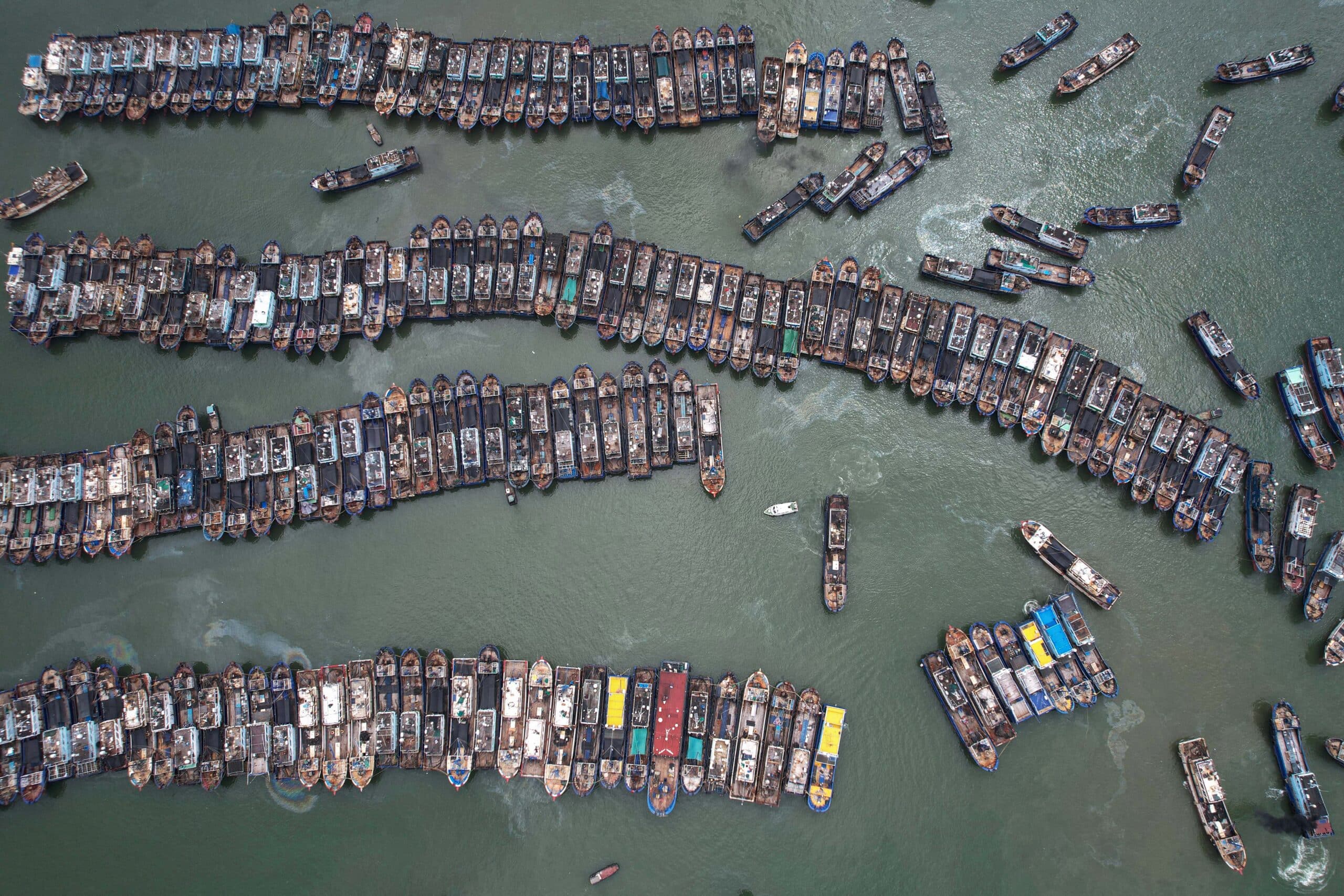
This photo taken on July 24, 2024 shows fishing boats berthing at a port to avoid Typhoon Gaemi in Xiamen, in eastern China’s Fujian province. (Photo by Agence France-Presse) / China OUT
At least 20 people from Metro Manila, Central Luzon, and Calabarzon (Cavite, Laguna, Batangas, Rizal and Quezon) reportedly died due to Carina and torrential rains from a typhoon-boosted southwest monsoon, according to the Philippine National Police.
READ: Deadly typhoon hits Taiwan, 9 sailors missing after ship sinks
Incessant heavy downpours submerged houses, business establishments, churches, and other facilities, and even overwhelmed dams and rivers that flooded a lot of areas in affected regions.
The Philippines’ capital region nearly shut down as many roads were inundated and impassable amid flooded tributaries and drainages.
Metro Manila is currently under a state of calamity.

